
Master’s in Global BIM Management for Civil Engineering and GIS
Double degree


Language
English
Duration
1 academic year
Starts in
May 2026
Credits
60 ECTS
Methodology
Live Online
Learn more about our BIM and GIS Master’s
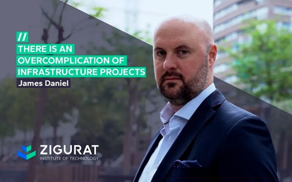
With the Master’s in BIM for Civil Engineering and GIS, you will lead the planning, construction, and maintenance of infrastructure.
This live online Master’s in BIM Management for Civil Engineering and GIS prepares you to lead BIM infrastructure projects throughout their entire lifecycle, integrating BIM and GIS to achieve greater traceability, interoperability (IFC, CDE), and technical insight in linear works such as roads, railways, and hydraulic systems.
This Master’s has set a new benchmark for excellence in construction education. It is Spain’s first-ever programme accredited by The Chartered Institute of Building (CIOB), one of the most internationally respected organisations in the construction sector.
You will work with leading civil engineering and geospatial data software (Autodesk, Bentley, Esri, Plannerly, Dalux, among others) applied to real BIM/GIS projects. In addition, you will develop deliverables ready for public procurement and asset management, following the standards used by top civil engineers and major infrastructure companies.
You can choose from specialised tracks (railways, hydraulic systems, and service roads) as part of your Final Master’s Project, developed on a real BIM+GIS infrastructure project alongside leading industry experts.





BIM and GIS in Civil Engineering Master’s Content
60 ECTS
Start your BIM+GIS mastery in civil engineering
BIM Management
Data collection for Infrastructure Projects and GIS
BIM for infrastructure projects
Construction of infrastructure in BIM
Maintenance of infrastructure in BIM
Degree awarded
Our BIM Experts for Infrastructure

Master's Director
James Daniel
Head of Digital Engineering at HS2 Ltd.

Ahmed Sharaf
Water and Wastewater Engineer at M2 Engineering

Bruno Busnardo
Engineering Manager at Yakka TDC

Mohammad Mayouf
Academic Lead for the Digital Built Environment at Birmingham City University

Karol Argasiński
Founder & CEO in BIMfaktoria. PointCab Master Added Value Reseller. buildingSMART Polska Member

Bruno Mota
Programme Director for Assystem and Lean Manager at SIPPRO




BIM and GIS Testimonials

Mohammad Mayouf
Digital Built Environment Leader
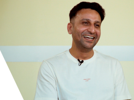
Muhammad Nouman
Design & BIM Manager at Saudi Consulting Services

Hossam Abdulaziz
Senior BIM Manager at SYSTRA Arabia

Nardjes Zehana, Algeria
BIM Manager at MBIM
Accreditations


Certifications


Software















The ZIGURAT methodology
Active & Social Learning
Training based on participation and collaboration
Studying at ZIGURAT means expanding your professional network and having the unique opportunity to participate in selective working groups, decided on through the expertise of our professors: leaders in technological innovation and construction.
Lifelong Support
A holistic view of the professional profile
From the initial orientation to post-Master's advice, we guide you to have a critical and 360º vision of your future as an expert in the sector.
Online Experience
Interactive and flexible digital experiences
Through live sessions with industry leaders and high-quality materials on global case studies, our learning approach adapts well to the hybrid pace of today's professionals.
FAQ
What is GIS and how is it integrated with BIM in civil engineering projects?
GIS is the Geographic Information System that manages raster and vector data (cartography, orthophotos, GPS). The master’s integrates it with BIM to align the model, the territory, and key constraints such as alignments, easements, hydrology and drainage, geotechnics, and impacts. This way, you achieve BIM + GIS with greater accuracy, traceability, and more informed decision-making.
Can I apply for the BIM Master’s in Civil Engineering and GIS if I am not a civil engineer?
Yes, if you have a technical background. The programme accepts professionals in civil, hydraulic, transport, or topographic engineering, as well as architecture, who wish to apply BIM and GIS to linear infrastructure and lead coordination, 4D/5D planning, and O&M. It provides solid technical knowledge in construction and GIS, helping you strengthen your profile in infrastructure projects. If you are interested in advancing your career as a BIM Manager but are less focused on GIS, you may consider the Master’s in Global BIM Management as an option.
What specific BIM and GIS software for road infrastructure projects will I learn in the Master’s in Civil Engineering?
You will work with Civil 3D and InfraWorks (Autodesk) for geometric design and infrastructure modelling, OpenRoads Designer and OpenRoads ConceptStation (Bentley) for advanced road and rail projects, ArcGIS for geospatial analysis, Synchro 4D Pro for construction planning and scheduling, and Catenda Hub for coordination and information management through IFC-based workflows, among other software such as Revit, Navisworks, WaterGEMS, SewerGEMS, Dalux, Plannerly, Bexel, and iTwo CostX.
What types of projects are covered in the Master’s in Civil Engineering?
This Master’s focuses on BIM projects in linear infrastructure typical of civil engineering, including roads (alignment, gradients, typical sections, cut and fill), drainage systems (longitudinal and transverse, ditches, culverts, detention ponds), railways, and crossing structures (bridges and viaducts). It also integrates sanitation and water supply networks, service roads, intersections, topography, and GIS-related constraints (cartography, orthophotos, and digital terrain models). All of this is carried out through BIM and GIS workflows, with IFC in CDE environments, 4D/5D planning, and quantity take-offs for public procurement and asset management (O&M).
How does this civil engineering master prepare me for tenders and public procurement?
Throughout the BIM master’s in civil engineering projects, you will learn to produce tender deliverables such as reports, drawings, budgets and quantities, 4D planning, IFC within CDE environments, and BEPs. You will practise specifications, information requirements, and traceability using BIM and GIS, aligned with public infrastructure procurement and asset management during operation and maintenance.
What distinguishes this BIM Master’s in Civil Engineering and GIS from ZIGURAT’s other BIM Master’s programme?
This programme specialises in infrastructure and linear works using BIM and GIS, including roads, railways, hydraulic projects, asset management, and public procurement. The other BIM Master’s at ZIGURAT focuses on building projects and architectural modelling. This way, we avoid overlap and guide you towards the civil engineering sector.
What is civil engineering?
Civil engineering specialises in the planning, design, construction, and operation of infrastructure such as roads, railways, bridges and viaducts, hydraulic works (drainage, water supply, and sanitation), and urban developments. In this master’s, you will apply BIM + GIS to enhance traceability, interoperability, and decision-making throughout the asset lifecycle.
What career opportunities will I have after completing the Master’s in BIM Management in Civil Engineering and GIS?
You will be able to lead projects as a BIM Manager for infrastructure or as a BIM Coordinator in linear works (roads, railways, and hydraulic projects), as well as take on roles in Asset Management (O&M), 4D/5D coordination, planning and costing, CDE/IFC management, and BIM + GIS integration. You will also fit into public procurement teams and civil engineering and geospatial data consultancy firms.
Your BIM and GIS Journey Starts Here
Application for admission
Send us your application, your CV and a short presentation.
Personal interview
Our admissions team will arrange an interview with you.
Submission of documentation
Send us the necessary documentation to assess your application.
Admissions Committee
Our committee will evaluate your application.
Admission decision
If you meet the requirements, you will get your place.
Enrolment
Follow the enrolment steps indicated by the advisor.